

So…the trip with Bredio. The Kuna islands are a chain of 365 islands strung out on the coast of the indigenous region of Panamanian jungle which stretches from the canal zone to the Colombian border. There is a mountain range that runs down the coast of Panama, separating the indigenous jungle from the civilized side of Panama.
We found ourselves in the very Western portion of Kuna Yala, crammed up against the Panamanian coast in the Robeson Islands. The Kuna indian lifestyle is split between the island villages down in the sea, and the thatched villages high in the mountains. The Kuna split their time between the villages of each province and, each day, Kuna from the sea make their way in dugout canoes, called ulus, to the mainland to gather fresh water, wild produce and building materials such as roof thatching. The island villages are quite accessible to visitors, known as “touristas” locally, and the islanders are therefor used to the bombardment by “gringos.” Surprisingly, Americans are not the most common visitors to the province any more. The local tourists are often mainland Panamanians from the other side of the mountains, as well as Colombians, French and Italians. We have also crossed the paths of Argentians, Brazilians, Australians and Germans.

Islas Robesons
The last time Greg & Laura were here, they had made the acquaintance of Justino, one of the Kuna from Robeson. It was still early on in the trip, so we weren’t sure if people would remember the Alliance or not but, within ten minutes of dropping the anchor, an ulu came alongside with a message written in Spanish that translated “Hi Greg and Laura! I’m working now, but will come by at 5 when I get done. – Justino” Obviously, they had remembered the big green Colvin from Virginia!

The Cangandi river, working our way up to the cayuco landing.
Justino came by as promised and, after visiting with him and his family, we arranged a trip up the Cangandi (SP) River to see one of the mainland villages. This very awesome bit of legwork involved a trip to the Saila, the chief of Isla Gertie, to pay anchorage fees as well as ask permission to use the PANGA, one of the larger, communal boats. A trip was also made to a different island to secure an outboard engine to power the PANGA for the trip upriver, and the plan was for two groups of five to trek into the mountains, as we still had volunteer crew aboard from the delivery.
 Bold explorers headed into the jungle
The next day, Justino’s brother in law, Bredio, showed up instead and took us up the river Cangandi. I was in the second group, so after spending the morning tooling around Alliance, we boarded the panga around one pm and headed in.
 The banana docks, circa 1940
As soon as we came around the mouth of the river, we started to see signs of ruined enterprise. The pic above shows the old pilings of a substantial wharf. As we continued up river, we saw more signs of a past civilization, inlcluding a narrow gauge railway and an overgrown runway. In fact, the majority of the path that we were to hike to get to the village in the mountains was the old rail bed. Although my Spanish is quite rusty, I have been able to communicate with the Kuna, and Bredio told me that in the early part of the past century, an American corporation came to Kuna Yala and set up banana farms. They hired the Kuna and tried to teach them how to farm the land. This lasted just long enough for the Kuna to figure out they didn’t like the modern way of life, and they no longer had any interest. Some time around 1940, the banana farms were abandoned. The American corporation pulled out; the runway and railway has been left for reclamation.
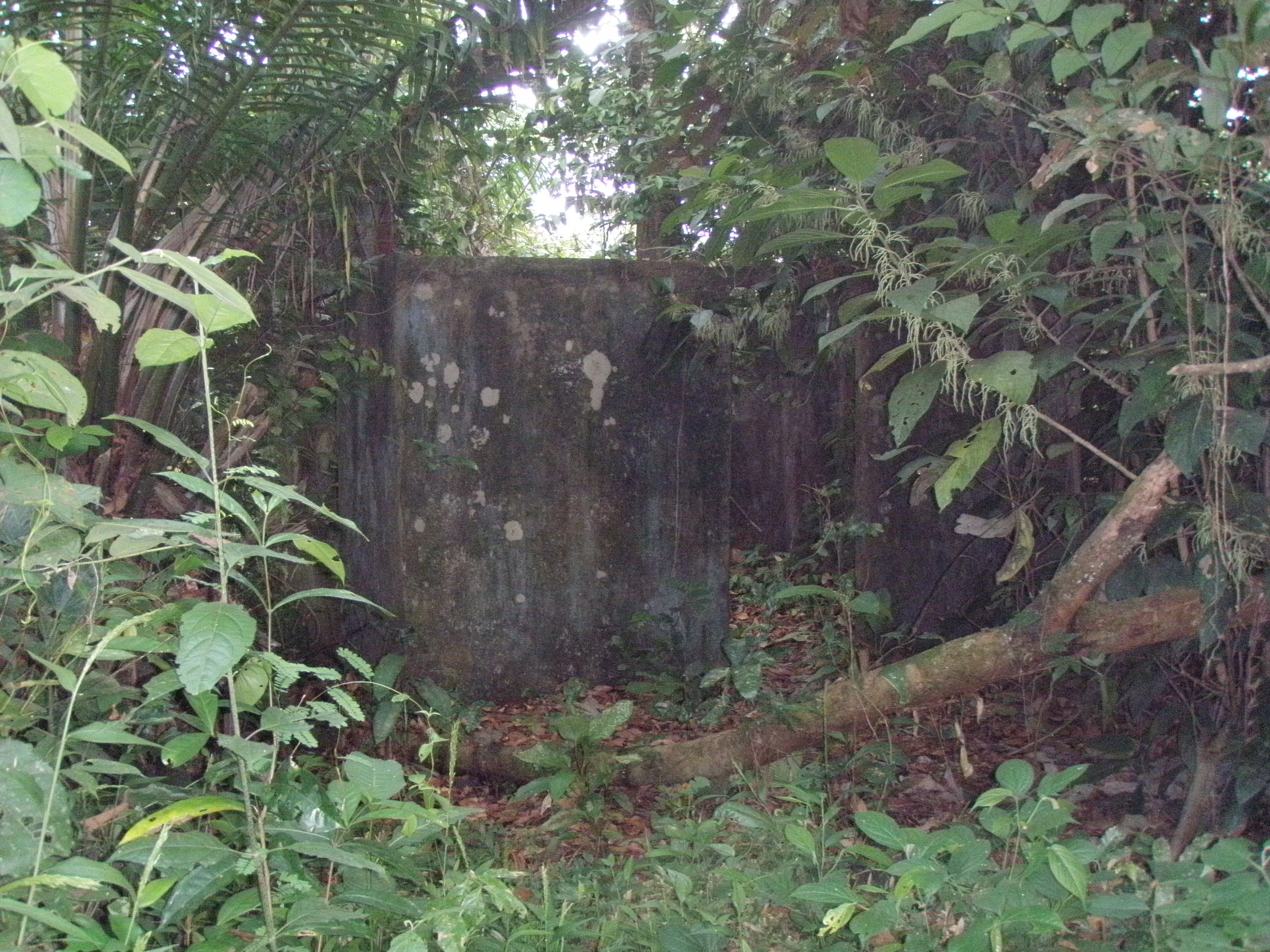 The old airport office
 Bredio on the abandoned runway
 The old narrow gauge railway over a creek
The endeavor was not completely lost however. The leaf cutter ants still use the narrow gauge railway in order to cross a stream that feeds the river.
 Leafcutter ants using the old narrow gauge as a bridge crossing
So off into the jungle we trekked. Past the narrow gauge. Past the leafcutter ants. Past the unnamed lake we called Lago Bredio. Past the 4000′ runway. By the way, it is incredibly handy to have an army ranger candidate around if you ever need to know the length of a random runway in the Panamanian jungle. Two hours we hiked, along the old railbed, before we finally made a turn and headed up a hill. Almost to the crest, we stopped. We were warned; pics of the village and the view, okay. Pics of the people, not cool. We had reached Cangandi. All of a sudden, I had walked onto a National Geographic set. Thatched huts on a mountain top, overlooking terraced gardens. While they do have solar power and, subsequently, radio and tv now, the villages are very primitive. We met the Saili of Cangandi and he allowed us to enter the Congreso to take a break. The Congreso is the communal meeting hall which the Kuna use for special meetings and gatherings. No pictures were allowed inside the Congreso, but below are the pics of the village itself.
The two trees lashed together make a press. A Kuna man will bounce up and down on the extended, top tree. In turn, it bounces up and down on the lower branch wedged in the tree. Two Kuna women will then feed sugar cane through the gap between the two trees, squeezing all of the cane juice from the plant. This liquid is used for lots of different beverages but, most importantly, they ferment the sugar cane into the chicha beer that they use for special ceremonies. The Kuna society is a matriarchal society, meaning that everything is dominated by women. The women handle the money and the day to day affairs. One of the biggest reasons to celebrate in the Kuna society is when a young Kuna girl reaches puberty. It is at this point that the girl chooses between modern way of life, long hair, blue jeans and such, or cutting her hair and wearing the traditional garb.
Here are the village pics;

The view from Cangandi

The Cangandi River

The Congreso, or communal gathering hut

The chicha press

Some of the Kuna huts

Bredio on the chicha press

Bredio in the village

Alex on the Cangandi

Alex again on the Cangandi river

New home construction in Cangandi village
That was it. That last shot was us headed back out of the village, and back to the boat. I’m sorry for the curtailed end of the description…time is short for me here. We are now in Portobelo. I have a limited amount of time here at Captain Jack’s (Awesome, by the way) in order to blog, make phone calls and download the weatherfax data for the upcoming trip to Providencia. We arrived here Thursday. We haul back and head for Providencia Monday. It’s a Columbian island off the coast of Nicaragua, 250 miles to the North. It is also the third largest barrier reef in the world. A couple of weeks of diving there, and then it is off to Honduras and then the states. I’ve got a ton more photos and info to post….Portobelo is awesome. Francis Drake is buried here. We’re going diving tomorrow…I’m finishing my burger and then headed to Panama Divers to arrange the trip. There are old forts and ruins. Portobelo was the primary port for the export of Inca gold back to Spain, and was once captured and held by the pirate, Henry Morgan. More on that later, though. I hope you enjoyed the pics and update. Ciao for now!
– CC


